
- Ride Details
- Distance: 11.3 miles
- Summit Elevation: 503′
- Total Ascent: 843′
- Time: 1-2 hours
- Difficulty: Beginner
- Que Sheet: Download
The Fullerton Loop is probably the most traveled mountain biking route in Orange County. The trail uses Fullerton’s miles of multi-use biking, hiking and horse trails with some short road sections to connect everything together. It can be a little daunting to figure out all of the turns, but it can be done with the route sheet PDF or by following someone that knows the route.
We’ve rated the Fullerton Loop (“The Loop” or “Floop”) as a beginner trail and most of it is very rideable with no long climbs. However, be aware that there are short tricky sections that can be surprising technical. I live on the loop and have ridden it hundreds of times and have seen the paramedics helping injured riders many, many times. Always ride within your ability and be aware that there are lots of beginning riders on the trail, particularly on weekends.
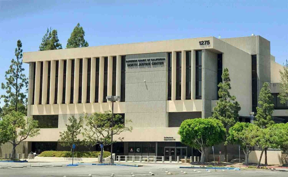
You can start anywhere on the loop, but the traditional start is the North Justice Center just off Harbor Blvd on Berkeley St. Locals ride to the loop from home, but there’s usually plenty of parking at the courthouse if you want to drive.
The trail runs along the back of the courthouse parking lot and crosses Valley View and continues until you reach the Hiltscher park trail where you’ll make a hard left down a steep little hill. There’s a community garden at the trail junction (The Garden of Weeden) where you can get water if you need it.
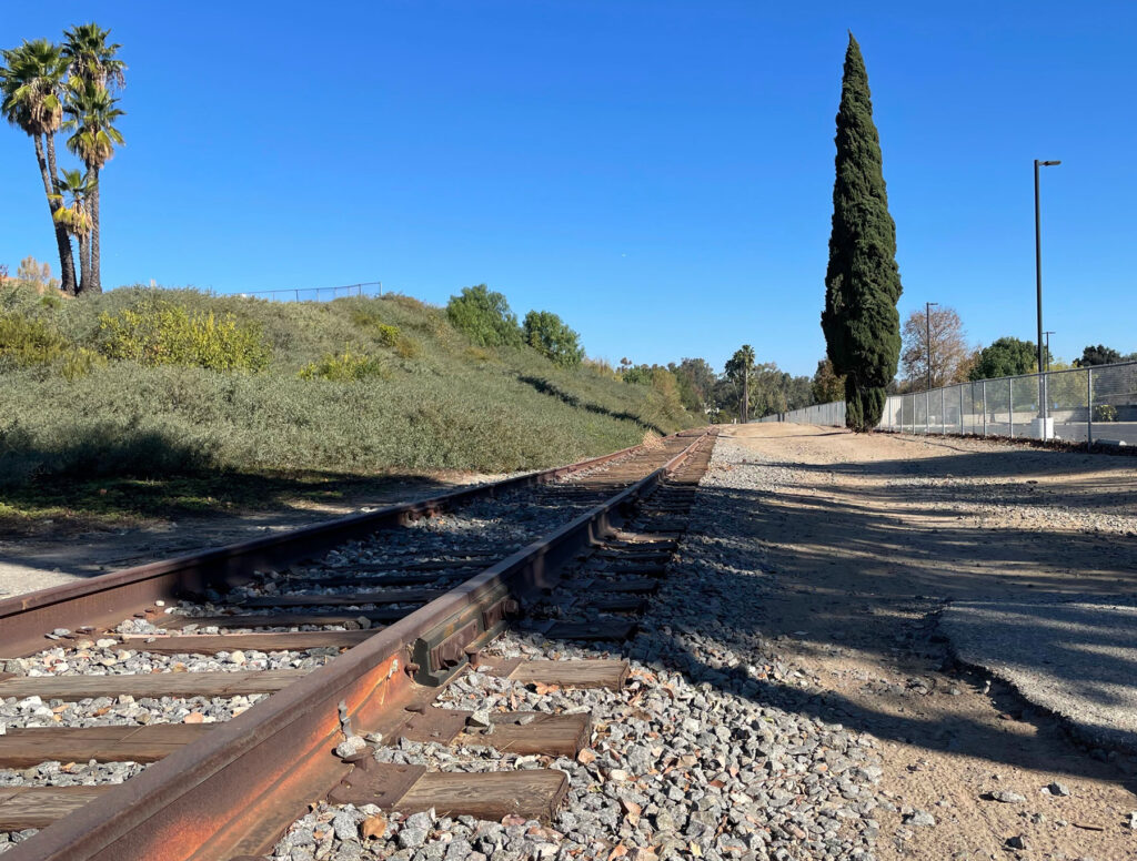
When you cross Richman Knoll, keep on the right side and have fun on the little single track that goes through the trees. You’ll cross Euclid at the light and continue on the trail to a steep uphill (Strava segment is called “Little Wicked”). Continue on West Valley View, down the hill to Bastanchury where you’ll turn right and then an immediate left onto Warburton and then right onto the trail that runs along the tracks. Be careful here; Bastanchury is busy (cyclists have been killed) and there can be lots of cars when school is starting or ending.
Ride along the tracks and then turn left onto Parks Road and then immediately do a little jog at Peacock Lane to get back onto the trail. You’ll ride behind Parks Junior High and up a hill where you’ll cross Rosecrans and enter Gus Grissom Park.
I played Ultimate Frisbee in the park for many years. You’ll still see people playing if you ride through on the right afternoon. Keep to the left of the park near the paved path and climb up to the top of the park.

You’ll pass through the little Tree Park and start down a very steep descent. Watch for ruts and use your brakes.
The trail will jog a bit and then run along the sidewalk on Rosecrans.

After you cross Gilbert, watch for the Castlewood Trail sign where you’ll turn right.

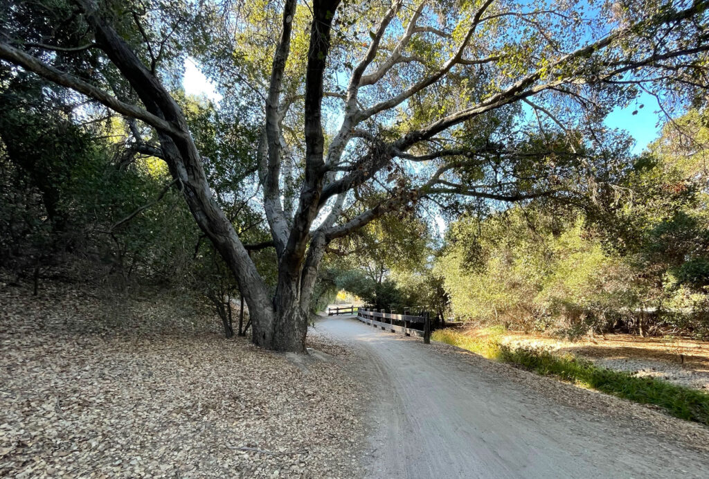
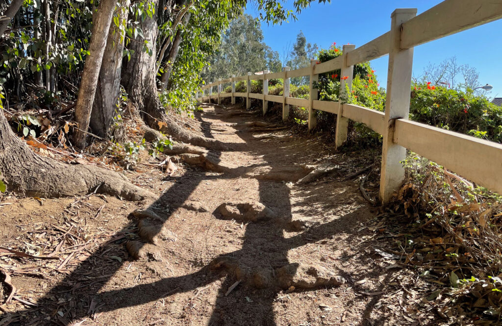
The Castlewood Trail has some nice little climbs and great views of the mountains and ocean on clear days.
Most of the trail is easy, but there are some tricky sections to keep you on your toes. If you don’t feel confidence riding a section, there is no shame in walking your bike over it.
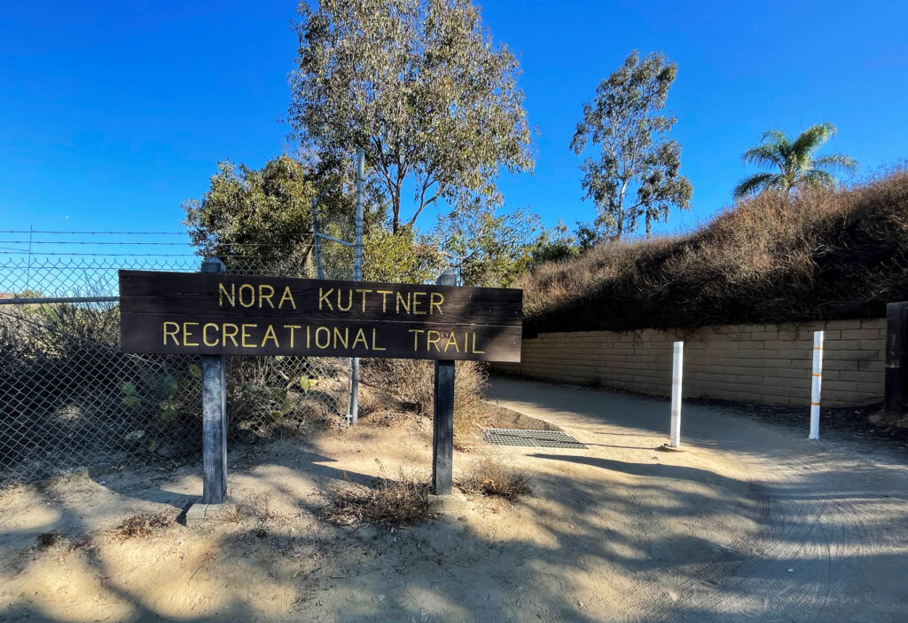
Eventually, you’ll cross Gilbert again and then turn right when you see a sign for the Nora Kuttner Recreational Trail. Get in a low gear because there’s a very steep climb around the corner (Strava segment Mormon Hill after the church on Euclid).
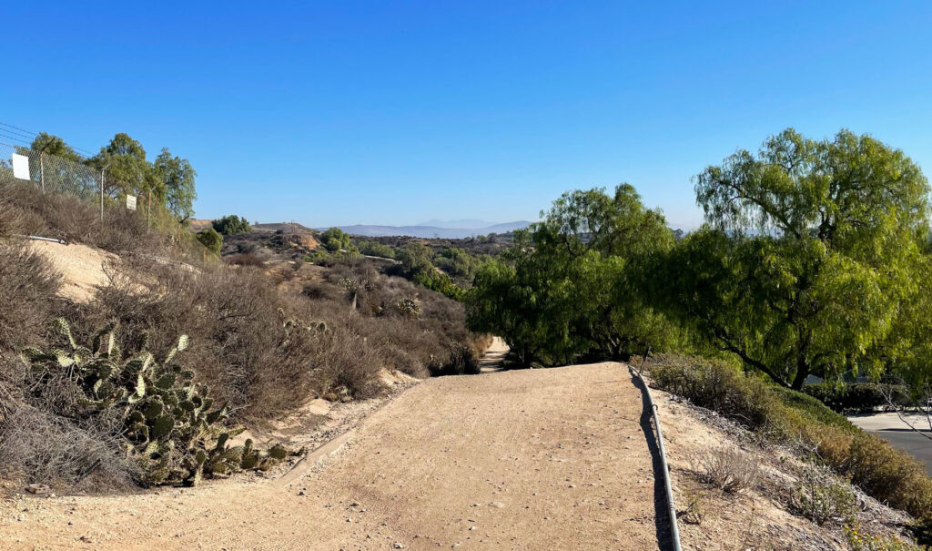
You’ll be riding along the Coyote Hills open space area in Fullerton, half of which was recently purchased by the city using a grant from the state. It should be part of the Fullerton Loop in years to come.
Cross Euclid carefully, turn left and then jog right at Laguna Lake road to get back onto the trail. You’ll ride up a hill and then down to the Laguna Lake parking area.
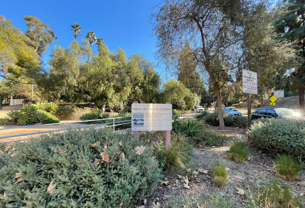
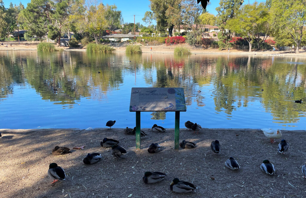
Laguna Lake is a pretty area with bathrooms, water, and places to sit. The lake is over 100 years old and was originally used to water animals and later as an irrigation lake for the orange orchards. There are ducks and other waterfowl and you’ll see people fishing on the banks.
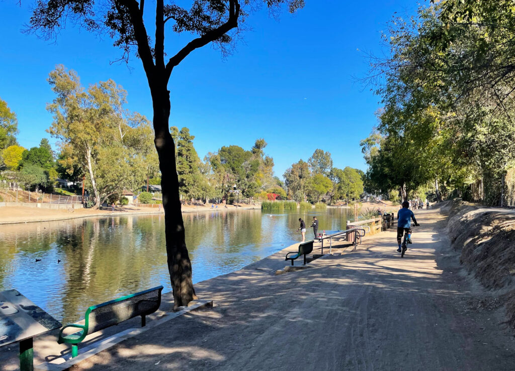
Stay on the right side of the lake and turn right on the trail after you exit the park.
Ride about a mile and you’ll cross the train tracks on a bridge. Turn left and head down a steep hill to get onto the trail along the tracks. You’ll go about a half mile and then make a hairpin right to ride up the hill.
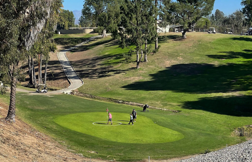
Cross the golf course entry road when you see the trail on the other side and head down the hill towards the course.
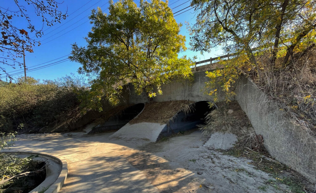
You’ll ride along one of the tee boxes and then one of holes and eventually come to the tunnel under Bastanchury. There can be water in the tunnels (I’ve slipped and fallen going too fast) so be careful. Use the second tunnel to cross under Bastanchury.
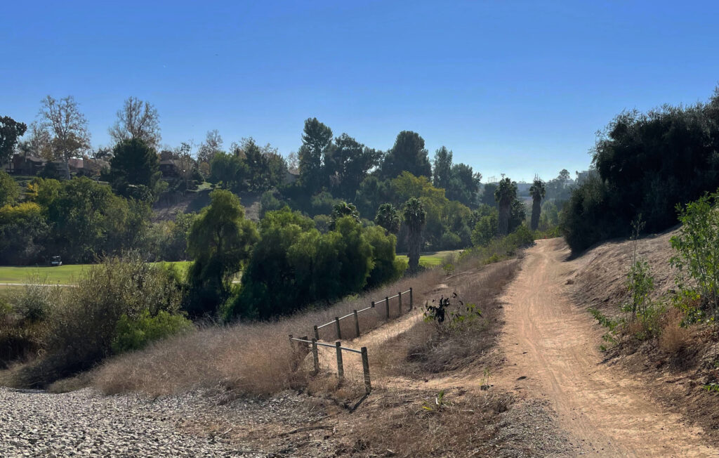
The trail will wind through the area behind the Brea Dam and eventually climb up to the level of the dam itself. Brea Dam was built in 1940 by the US Army Corps of Engineers to control water from 22 square miles of drainage from the Brea creek. Like all of the dams in Southern California, it’s rare there is water behind the dam, but every 30 years or so, we’re glad they are there.
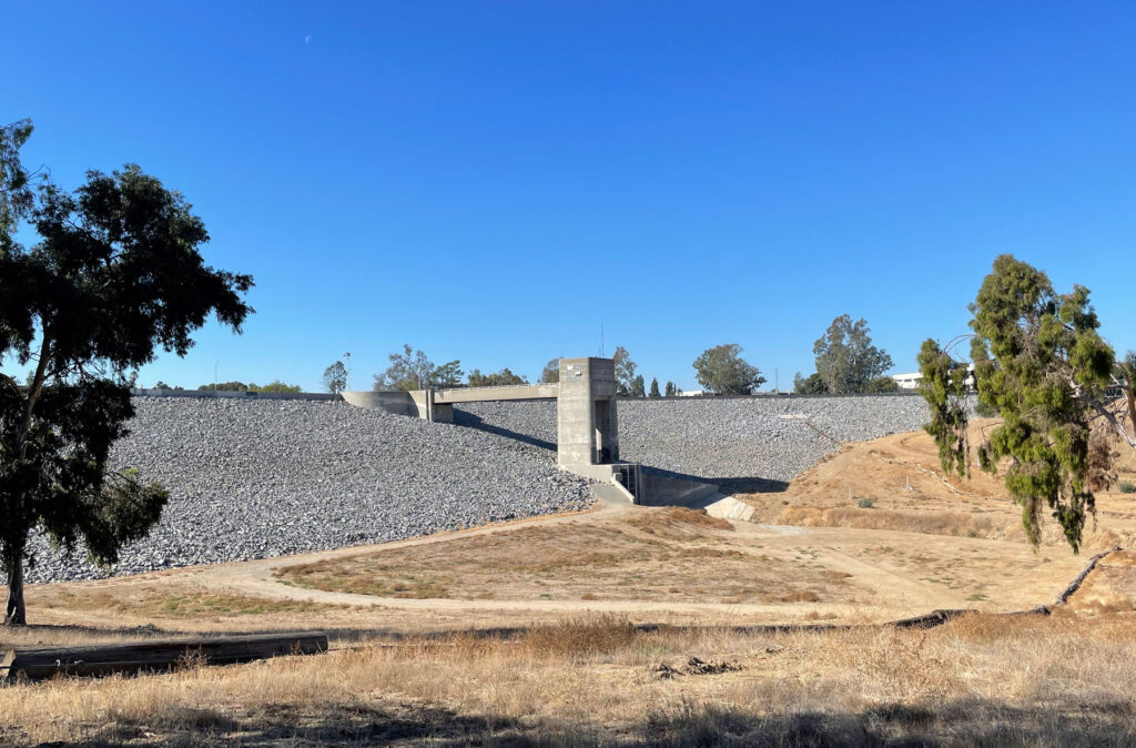
You’ll have the dam on your right as you climb the hill on the trail and then a paved road. Look for an opening in the fence on your right when you reach the top. Descent the dirt trail (tricky bit of trail so be careful) and you’ll return to the paved road that will take you out to Harbor Blvd.
Cross Harbor (carefully) and turn left back towards the courthouse. Turn right into the Sizzler parking lot and cross behind it. You’ll come out on Berkeley with the courthouse in sight. I hope you had fun.