
- Ride Details
- Distance: 43 miles
- Summit Elevation: 4508′
- Total Ascent: 5468′
- Time: 4-6 hours
- Difficulty: Advanced
- Cue Sheet: Download
Baldy Village is probably the most popular route in the San Gabriel Mountains in the area north of Orange County. It starts on Glendora Mountain Road (GMR) and continues to Glendora Ridge Road (GRR) before dropping down to Baldy Road and the Village.
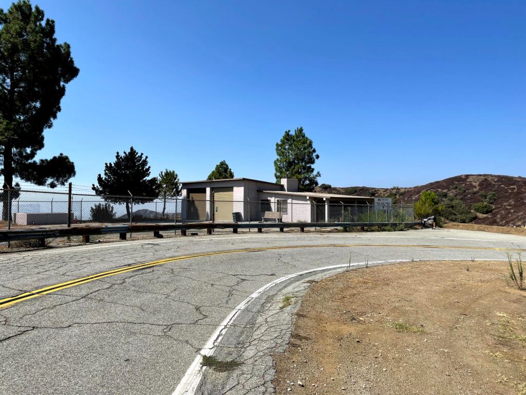
We used to park near the intersection of Glendora Mountain Road and Sierra Madre, but we heard that some cars had been broken into while parked during their rides (bad guys know you are gone for a while). We now park on Palm street where it seems a little more traveled.
You’ll start to climb immediately and get a little warm up before you pass a gate. From time to time, this gate is closed to automobile traffic (always on July 4th) which is always nice. This is the start of a popular time-trial Strava segment that goes for a little over eight miles and climbs about 2000 feet. It’s part of the Tour de California routes in the past so the pros have all of the cups and the KOM. Take your time and enjoy the ride.
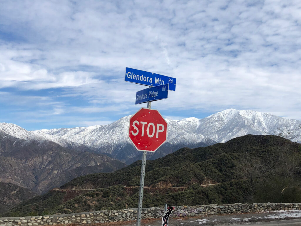
The shack is a good place for a rest, but the best views are from the junction of Glendora Mountain Road and Glendora Ridge Road (aka The Baldy Y). The summer views are wonderful, but if you can get up there when there is still snow on the mountains, it can be amazing.
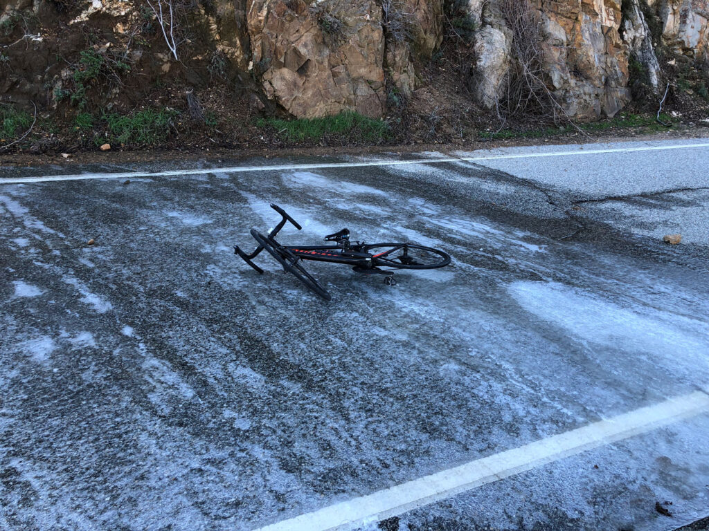
It is California, so we ride in the San Gabriels all year long, but you have to be aware of the weather and road conditions in the winter. It can be warm and beautiful in the valleys and there can still be ice on the road in the mountains. The snow level rarely gets below 3000 feet (above the shack), but once you get beyond higher, use good judgement. The ride up, when you are climbing, is the best way to evaluate the road condition for the much faster ride back.
After you reach the shack, the road will roll for about five miles and then you’ll start a second big climb that lasts about three and a half miles. The road will roll again for about four miles until you reach a parking area at Cow Saddle, the highest point on the ride. From here you’ll start a long descent to Baldy Road and the Village. The gate at the bottom of the road may be closed and there is traffic on Baldy Road so watch your speed at the bottom of the descent.
Turn left onto Baldy Road and ride up about a quarter of a mile, past the fire station, to the Mt Baldy Lodge.
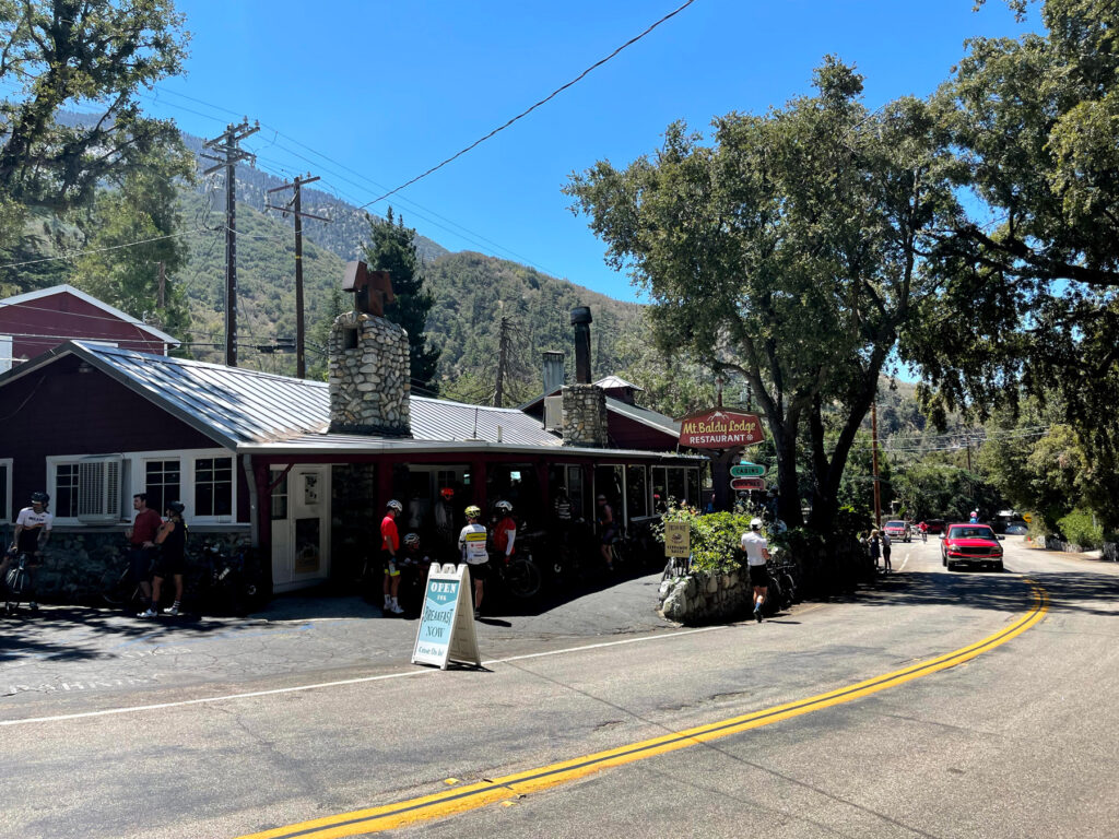
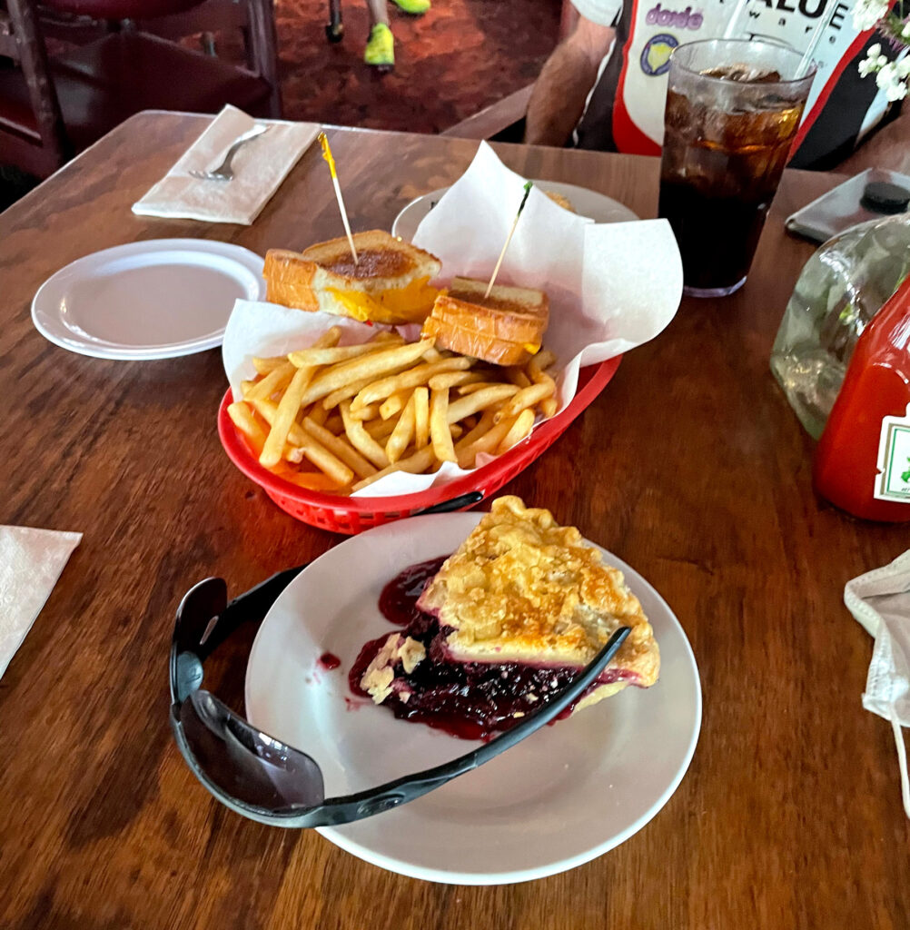
If it’s cold, they’ll have a warm fire going in the lodge. If you are hungry, the food is pretty good. Order the pie and have them heat it up. Most weekdays, they don’t open until 11a so don’t count on them for snacks if you arrive early.
They have a water bottle filling station in front of the lodge and usually an ice chest full of ice in the summer. Public restrooms are across the street at the visitors center.
You’ll find have some work on the ride back. There’s about 1000 feet of climbing left before you reach your car. The worst of it is the ride from the village back to up Cow Saddle (perhaps on a full stomach). After that the climbs are fairly short and there’s lots of descending. As always, be careful and remember the hazards you saw on the way up. The road crews do a good job, but there are often rocks and debris on the roads, particularly after a storm.
There are several options from the village worth mentioning. If you are spent and can’t imagine doing any more climbing, you can descend Baldy Road and return to your car along the baseline of the mountains. Baldy Road is steep, rough and there are lots of cars so use this option with care. It cuts a few miles and a fair amount of climbing from the return so it’s an option if you’ve cramped or run out of time.
If you are feeling peppy and want more, continue up Baldy Road to the Baldy Lifts. It’s a little under five miles (ten round trip) and averages over 10% grade so it’s not for the faint hearted. If you decide to go for it, I’d recommend the pie after you return to the village.